Nanluoguxiang is an alley, located in the intersection area on the east side of the central axis of Beijing, from the north to the east of Gulou Street, south to Ping'an Street, 8 meters wide, 787 meters long, built in Yuandu at the same time. It is one of the oldest neighborhoods in Beijing, and has a history of more than 740 years. Also ranked among the 25 old city protected areas in the plan. Because of its high terrain and low north and south, such as a hunchback, it was named Luogu Lane. By the Qing Dynasty, the "Full Map of Beijing" drawn by Qianlong in 15 years (1750) was renamed Nanluogu Lane.
;
Nanluoguxiang Review
4.5 /53544 Reviews


1 / 8

5/5
Nanluoguxiang
Posted: Feb 22, 2021
Like
 5/5OutstandingOriginal Text
Landmark Nanluoguxiang 🚌 Transportation method: Metro 🚆 Line 6 and 8 📍 Day Tour route recommendation: Nanluoguxiang ➡️ Gulou East Street ➡️ Yandai Xie Street ➡️ Houhai-🌈 Food sharing 1⃣️ Blast belly: Beijing is quite famous, but it is not very delicious and not recommended. 2⃣️ Lightning puff: Internet celebrity snacks! The smell of floating out is super fragrant, similar to the pineapple bag with a layer of ice cream 🍦, but not delicious, step on thunder! 3⃣️ Crab yellow soup bag:, small expensive! 30r one, a little hot when you first come out of the pot, wait for a colder drink, the soup is still relatively strong, very good, crab yellow taste is also very good. 4⃣️ Iwakon cheese: moderately sweet, there will be some almond slices on it. Similar to adding a cheese table on toast, but it tastes delicious. 5⃣️ Jishiguo: This should be available in many places, and ice cream is poured on the fritters. 6⃣️ Xiandou Cake: The epidermis is crispy, the filling is instant at the entrance, very soft, super delicious heart. When it is just baked, it is the most delicious, so be sure to take advantage of the heat. 7⃣️ Sugar gourd: You can taste it in winter. Come to Beijing Sugar gourd. It is big and sweet. It will be more smelt in summer, but it is also sold. 8⃣️ Touch: There are vegetables and braised flavors in it, and the fat intestines are authentic Beijing flavor! 9⃣️ Nanxun family: There are many snacks in it, but the price is high, not very worth 🔟 Beiping coffee: many years! Western food, bars, coffee are available, you can try it -
Posted: Sep 14, 20230 4/5ExcellentOriginal Text
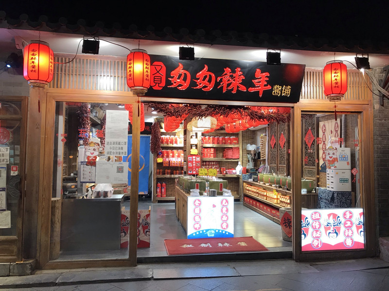
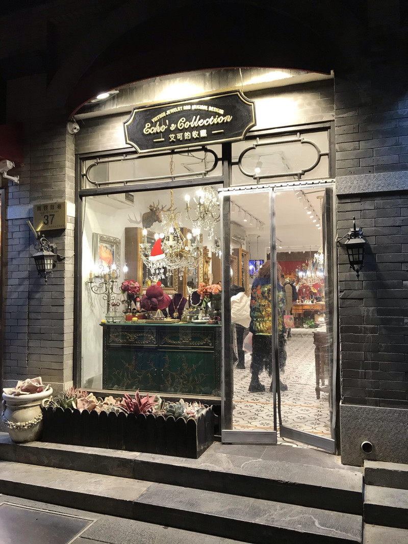
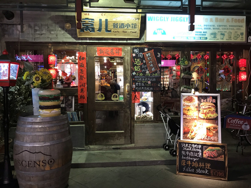
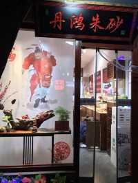
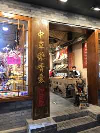
Nanluoguxiang is an old alley in Beijing, basically people who have been to Beijing will be here, no matter when, it is a crowd of people scene, let alone encounter a special day. This alley has an ancient alley in Beijing, many still retain the ancient decoration and pattern, and now many have become the private houses of rich people, and they are not open to the outside world. Walk along the main alley, there are snack shops and special boutiques along the way, authentic Beijing snacks, handicrafts, bars, food city, let you eat all the way, you can also buy some small gifts here, special Beijing snacks back as handwriting.
Posted: Aug 2, 20231 4/5ExcellentOriginal Text
Originally it was a historical old city, visiting the alleys, walking the streets and alleys to feel the historical atmosphere, but now all kinds of modern shops have various special snacks, all kinds of gadget shops are all, the overall commercialization, there are many same net red shops, it turned out that this is the residence of the official and the emperor. Now he We have to cross this street to stroll around, not fresh, don't want, it's all foreign things, nice, the taste has changed
Posted: Jul 25, 20230 5/5OutstandingOriginal Text
Nanluoguxiang traffic is very convenient, the two subway stations are not far from the exit. I can feel the atmosphere of old Beijing life here, but now the commercial atmosphere of Nanluoguxiang is strong, and the pure quiet charm of old alleys is missing. I can only try to find the atmosphere of old Beijing by chance in the depths of the alley. Earlier, there were many ordinary small courtyards in Nanluoguxiang, Beijing. On summer nights, people sat with Maza in the courtyard and shook the fan and chatted with parents. The children jumped rubber bands in the alley. The big flower cat was lazy in the flower pot, and the tail was hanging on the edge of the flower pot. The big tree in the yard is known, and the simple happy life in Beijing Hutong is reflected in the summer. Now Nanluoguxiang can be said to be the combination of Beijing's old hutong and petty bourgeoisie, which has become a fashion landmark for visiting Beijing.
Posted: Jul 26, 20230 5/5Outstanding
Traditional hutong transformed into a shopping street. There are a lot of souvenirs and food stores here. Must visit
Posted: Jan 12, 20240- 1
- 2
- 3
- 4
- 100
Popular Destinations
Urumqi Travel | Bremerhaven Travel | Sandringham Travel | Monrovia Travel | Canberra Travel | Malaysia Travel | Zhangjiajie Travel | Alba Travel | Darwin Travel | Cairo Travel | Zhuhai Travel | Guilin Travel | Hobart Travel | Maldives Travel | Labuan Bajo Travel | Freetown Travel | Tossa De Mar Travel | Longhai Travel | Boppard Travel | Coral Coast Travel | Red Sea and Sinai Peninsula Travel | Sparkwell Travel | Rishikesh Travel | Wuzhishan Travel | Hoboken Travel | Cocoa Beach Travel | Teruel Community Travel | Opcina Zadar Travel | Macedon Ranges Shire Travel | Windham County Travel
Recommended Attractions at Popular Destinations
Bangkok attraction near me | Tokyo attraction near me | Manila attraction near me | Hong Kong attraction near me | Taipei attraction near me | Seoul attraction near me | Los Angeles attraction near me | New York attraction near me | Shanghai attraction near me | Kuala Lumpur attraction near me | Shenzhen attraction near me | Osaka attraction near me | Singapore attraction near me | Guangzhou attraction near me | London attraction near me | San Francisco attraction near me | Beijing attraction near me | Macau attraction near me | Bali attraction near me | Paris attraction near me | Ho Chi Minh City attraction near me | Orlando attraction near me | Jakarta attraction near me | Phuket attraction near me | Chicago attraction near me | Toronto attraction near me | Istanbul attraction near me | Cebu attraction near me | Dallas attraction near me | Seattle attraction near me
Popular Attractions
Australian Outback Spectacular | Sri Venkateswara Temple(SVT Sydney) | SEA LIFE Sydney Aquarium | Vana Nava Water Jungle | Khaosan Road | Colosseum | Caversham Wildlife Park | Babylon Sauna & Spa | Ghibli Museum | Blue Tree Phuket | Damnoen Saduak Floating Market | Sydney Habour Tall Ship Cruises | Statue of Liberty | Carlton Gardens | Batu Caves | Grotta "Sa Conca 'e Su Sale" | ECHO and THE BUNNYMEN<Songs To Learn And Sing>Tour | Tandemfly Dolomiti | The Immaculate Conception Parish | Castello Longobardo di Avellino | Waiuku Museum Society | Edgewater Park | Pomnik | Shri Gugga Jahar Veer Ji | ÇınarAltı Aile Çay Bahçesi | Hunter Valley Wildlife Park | Sydney Tower Eye | Waitangi Soda Springs | Golden Whip Stream (Jinbian Stream) | Dujiangyan China Giant Panda Garden (formerly known as Panda Paradise)
Popular Travelogues
Bangkok Travelogue | Tokyo Travelogue | Hong Kong Travelogue | Seoul Travelogue | Los Angeles Travelogue | New York Travelogue | Shanghai Travelogue | Kuala Lumpur Travelogue | Shenzhen Travelogue | Osaka Travelogue | Singapore Travelogue | London Travelogue | Beijing Travelogue | Macau Travelogue | Bali Travelogue | Paris Travelogue | Phuket Travelogue | Toronto Travelogue
Payment Methods
Our Partners
Copyright © 2024 Trip.com Travel Singapore Pte. Ltd. All rights reserved
Site Operator: Trip.com Travel Singapore Pte. Ltd.
Site Operator: Trip.com Travel Singapore Pte. Ltd.