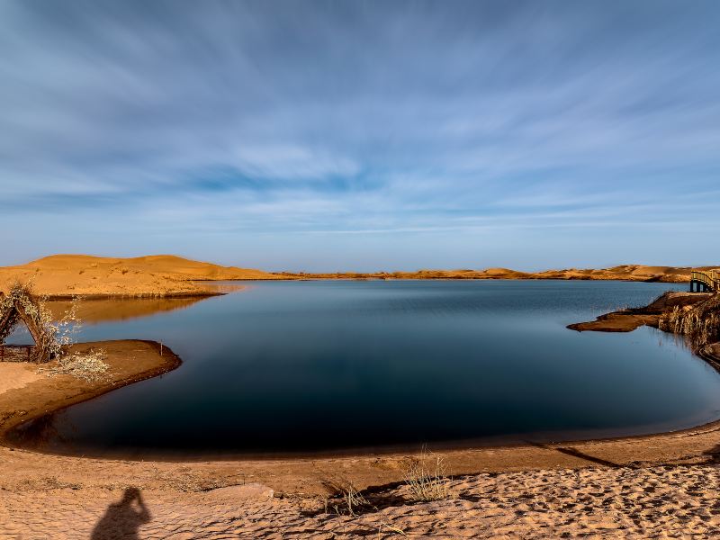
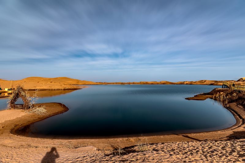
Photos of Tarim Basin
The Tarim Basin is located in the southern part of Xinjiang, China, and is the largest inland basin in China. The basin is located between the Tianshan Mountains, Kunlun Mountains and Altun Mountains. It covers an area of more than 400,000 square kilometers and is 800-1300 meters above sea level. The Tarim Basin is a large closed inter-mountain basin. Geologically, it is a stable block bounded by many deep and large faults. The terrain of the basin is high in the west and low in the east, and dips slightly to the north. The topography of the basin is distributed in a ring shape, the edge is the gravel Gobi connected with the mountains, the center is a vast desert, the edge and the desert are alluvial fans and alluvial plains, and there are oases.
Nearby Attractions
Popular Types of Attractions in Ruoqiang
Popular Restaurants in Ruoqiang
Popular Destinations
Recommended Attractions at Popular Destinations
About
Site Operator: Trip.com Travel Singapore Pte. Ltd.